The Northernmost Point of Lake Michigan
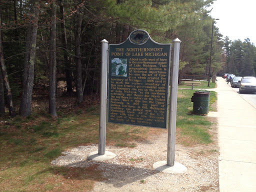
About a mile west of here is the northernmost point of Lake Michigan. This geographical location is of historical importance because the act of Congress which created the territory of Michigan in 1805 used it to mark the western boundary of this new frontier governmental unit. The boundary line ran up the middle of Lake Michigan “to its northern extremity, and thence due North to the northern boundary of the United States.” West of this line the Upper Peninsula in 1805 was part of Indiana Territory. In 1818 Michigan’s boundary was pushed west to the Mississippi River. All of the U.P., along with what is now Wisconsin and part of Minnesota, came within the limits of the territory.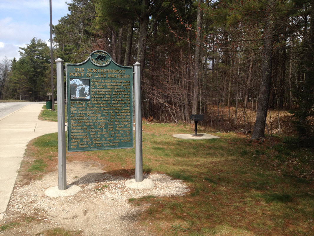
Plaque via Michigan History Center